
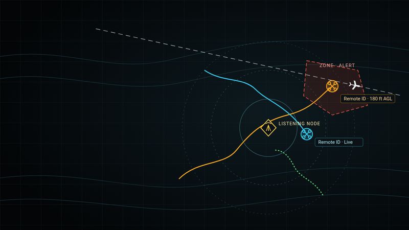
Receive-only. Detection-only.
BD Airspace
Know what’s in the sky over the places that matter. Critical infrastructure, schools, agencies, and public safety.
Protect critical infrastructure
Drones fly over utilities, substations, water systems, ag sites, airports, and crowds every day. Most of them broadcast who and where they are. BD Airspace listens for those broadcasts and puts them on a live map, so the people responsible for a site can see what’s overhead and act on it.
The same live map and flight replay serve schools and drone training programs, government agencies, and public safety teams.
It only listens. BD Airspace receives FAA Remote ID broadcasts, plus ADS-B from manned aircraft on nodes configured for it. It does not jam, intercept, transmit, or interfere with anything in the air.
How it works

-
Node
Listen
Raspberry Pi-based receive nodes sit at the site and hear Remote ID broadcasts, and ADS-B where configured. Several nodes can hear the same drone.
-
Live map
Map
Drone and aircraft tracks show on a live map with labels and distance from the listening node. Replay any flight after the fact.
-
Zones
Alert
Draw zones and geofences around what you protect. When something enters, operators get the alert on a phone or field console.
What it does
- Live map
Drone and aircraft tracks with labels, as they’re heard.
- Flight replay
Scrub back through a flight. New phone-friendly replay controls.
- Zones and alerts
Geofences around the assets you care about.
- Distance from node
See how far each contact is from the listening node.
- Multi-node hearing
Several nodes can hear the same drone across a site.
- Phone and field console
iOS and Android app clients, plus field console tablets for operators.
- Reports and export
Pull detections and flights into reports.
- Optional TAK/ATAK feed
Send contacts to a TAK picture you already run.
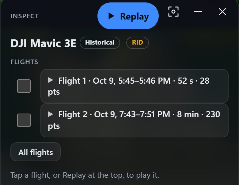
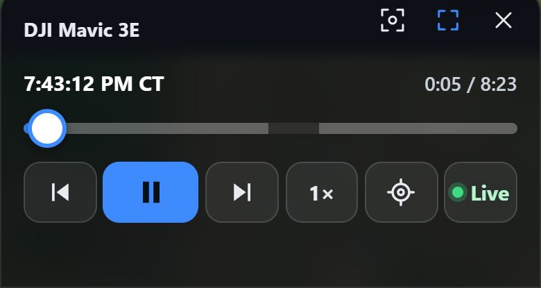
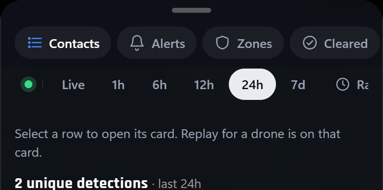
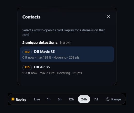
Screens from a demo build with synthetic flight data.
Who it’s for
- Electric utilities and substations
- Water and wastewater systems
- Ag sites and operations
- Airports
- Events and venues
- Other critical infrastructure
- Schools, colleges, and drone training programs
- Local, state, and federal agencies
- Public safety: police, fire, EMS, emergency management
Training and debriefs. Instructors and students can replay a flight and see its path, altitude, and timing. Use it for debriefs and safety review, on a phone or tablet in the field.
Available nationwide. Built in the Midwest.
See it on your site
Tell us what you protect. We’ll walk you through BD Airspace.